
Onshore and Offshore Wind
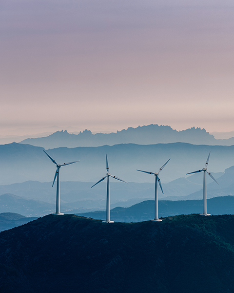
Meteodyn’s CFD-based software and services accompany your wind farm at every stage, from resource assessment to repowering.
Understand its potential, track its performance, and anticipate its future in a changing climate.
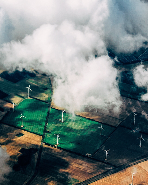
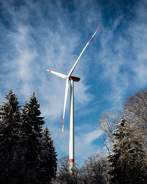
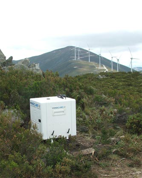
Your wind projects deserve better data
Every wind project runs on assumptions, until real data confirms or corrects them. How accurate that data is determines your yield, your risk, and ultimately your return on investment.
Meteodyn connects field measurements, CFD modelling and forecasting into one continuous chain, so every decision, from your first resource assessment to your latest performance report, rests on the same reliable source of truth.
Built on 20 years of expertise in CFD modelling, meteorology and climatology, our solutions are trusted by developers and operators worldwide to maximize the performance and profitability of onshore and offshore wind projects, at any scale and on any terrain complexity.
- Wind resource assessment, design and optimization
- Production forecasting and monitoring
- Climate change impact assessment on wind assets
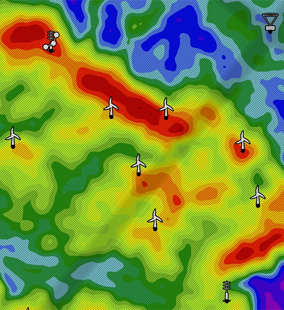
Wind resource assessment, design and optimization
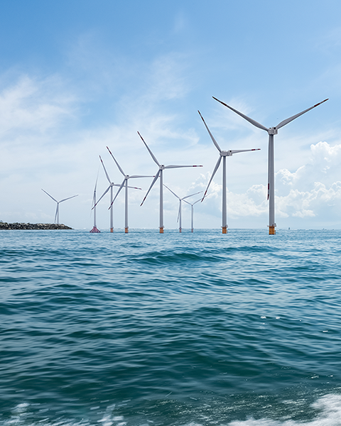
From early-stage site screening to wind farm layout optimization, Meteodyn provides the tools and expertise needed to make informed decisions at every step of your project, onshore and offshore, on any terrain complexity.
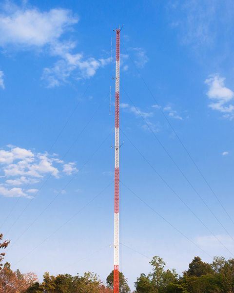
- Met Mast powered by CFD Technology
- Offshore Met Mast powered by SARWind Technology
- Atlas WRG powered by SARWind Technology
- LiDAR data CFD correction service
- Onshore Wind measurement campaigns
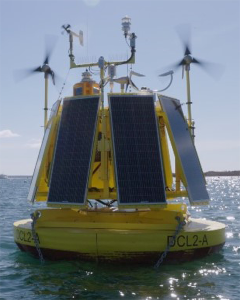
- DeepCLiDAR: Offshore Wind measurement campaigns
- Wind Resource Assessment & AEP
- Meso-Microscale Coupling (MMC)
- Meteodyn WT: Wind design software
- Wind Data Portal: Virtual Met Masts, MMC data

Production forecasting and monitoring
Once your wind farm is operational, maximizing its performance and anticipating its output becomes the priority.
Meteodyn combines automated SCADA data analysis with high-frequency energy production forecasts, giving operators full visibility over past, present and future performance.
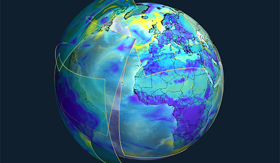
Climate change impact assessment on wind assets
Wind resources will not remain static over the lifetime of a wind farm. As climate patterns shift, some sites will see their potential increase while others may underperform against initial projections.
Meteodyn helps developers and asset owners quantify these long-term risks, supporting stronger investment decisions and more resilient repowering strategies.

+20 years of onshore and offshore wind expertise
+200 wind farms for which we provide weather and power production forecasts
Leading software solutions in resource and yield assessment

Worldwide projects of all sizes, on all types of terrain, from flat to complex.
They trust us













News
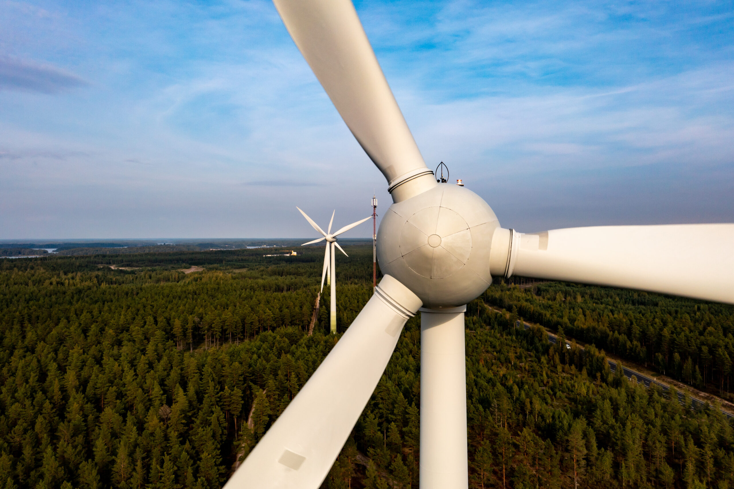
METEODYN at Green Power Sweden Summit 2026
On October 6–7, 2026, METEODYN will attend Green Power Sweden Summit 2026 at the Stockholm Waterfront Congress Centre. Sweden offers strong potential for wind energy development, but also presents...
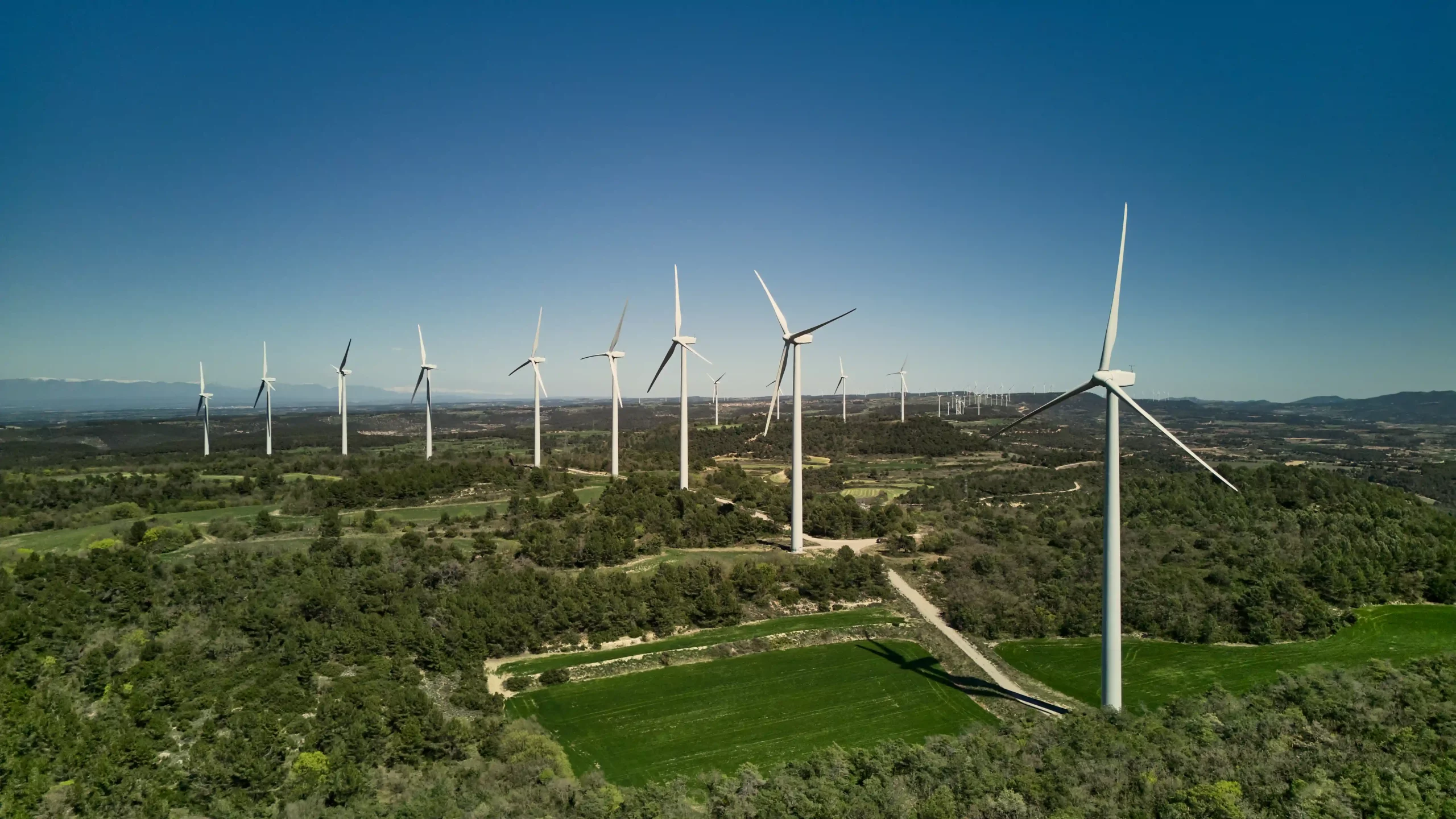
WindEnergy Hamburg 2026: From wind assessment to operational performance
How can better decisions be made throughout a wind project, from site assessment to operational performance? From September 22 to 25, 2026, METEODYN will be exhibiting at WindEnergy Hamburg, one of...
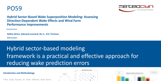
Poster: Hybrid Sector-Based Wake Superposition Modeling: Assessing Direction-Dependent Wake Effects and Wind Farm Performance Improvements
Meteodyn put a hybrid sector-based wake superposition model to the test across three offshore wind farms, Lillgrund, Horns Rev, and Nysted, to see when direction-dependent wake effects call for...
Scientific Publications
Discover all of our scientific resources: papers, posters, and webinars to learn more about our technologies and methodologies.