Our latest news
Search filters
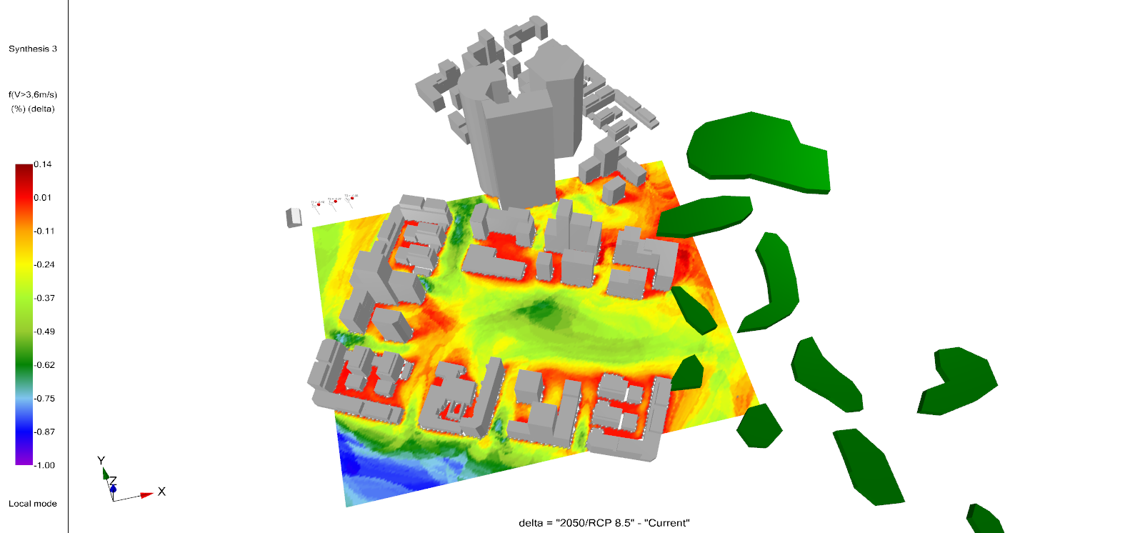
Meteodyn EC1 v3.2.2: Monaco Added, Security Upgraded
Meteodyn EC1 v3.2.2 is live as of 12 March 2026. This release adds Monaco to the calculation perimeter and migrates the application to .NET 8, patching multiple security vulnerabilities. Why...

METEODYN Receives the Lorenzo Cagnoni Innovation Award at KEY 2026
We are proud to announce that METEODYN has received the Lorenzo Cagnoni Innovation Award at KEY – The Energy Transition Expo 2026 in Rimini, Italy.This distinction recognises METEODYN as the most...
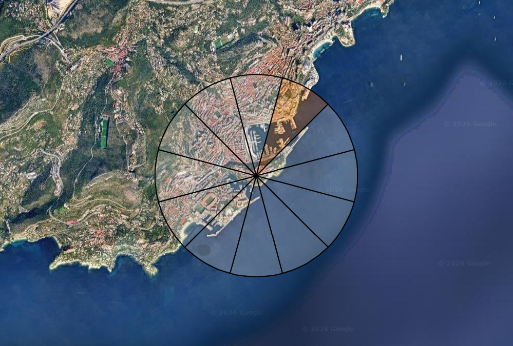
METEODYN Presents at the GANANA International Colloquium on Urban Climate Change
METEODYN to address outdoor comfort and energy production for sustainable cities On February 24, 2026, METEODYN will participate in the international colloquium "Urban Climate Change: Science,...
Meet METEODYN at KEY EXPO 2026 in Rimini
Discover our wind energy solutions and discuss your projects with our experts at booth B2/046 From March 4 to 6, METEODYN will participate in KEY EXPO, Europe's leading event dedicated to renewable...
Meet METEODYN in Tokyo at Smart Energy Week 2026
Join the METEODYN team at Tokyo Big Sight from March 17 to 19 to discuss your projects directly with our experts. Dates: March 17-19Location: Tokyo Big Sight, Tokyo Smart Energy Week is one of the...
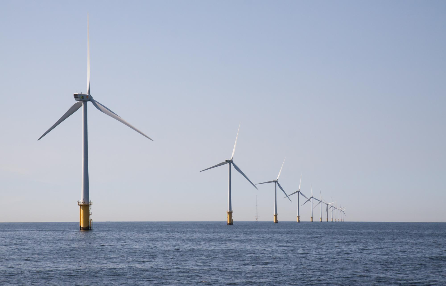
Vattenfall validates SARWind® TIMESERIES at one Offshore Site in the North Sea
Vattenfall validates SARWind® TIMESERIES, wind resource assessment data based on SAR satellite observations, at one North Sea Offshore Site Conjointly developed by Meteodyn and CLS, the SARWind®...
Journées Scientifiques de l’Éolien (Wind Energy Scientific Days)
METEODYN will be pleased to take part in the Journées Scientifiques de l’Éolien 2026. The event will take place in Marseille, at the École Centrale Méditerranée campus, on February 5–6. This...
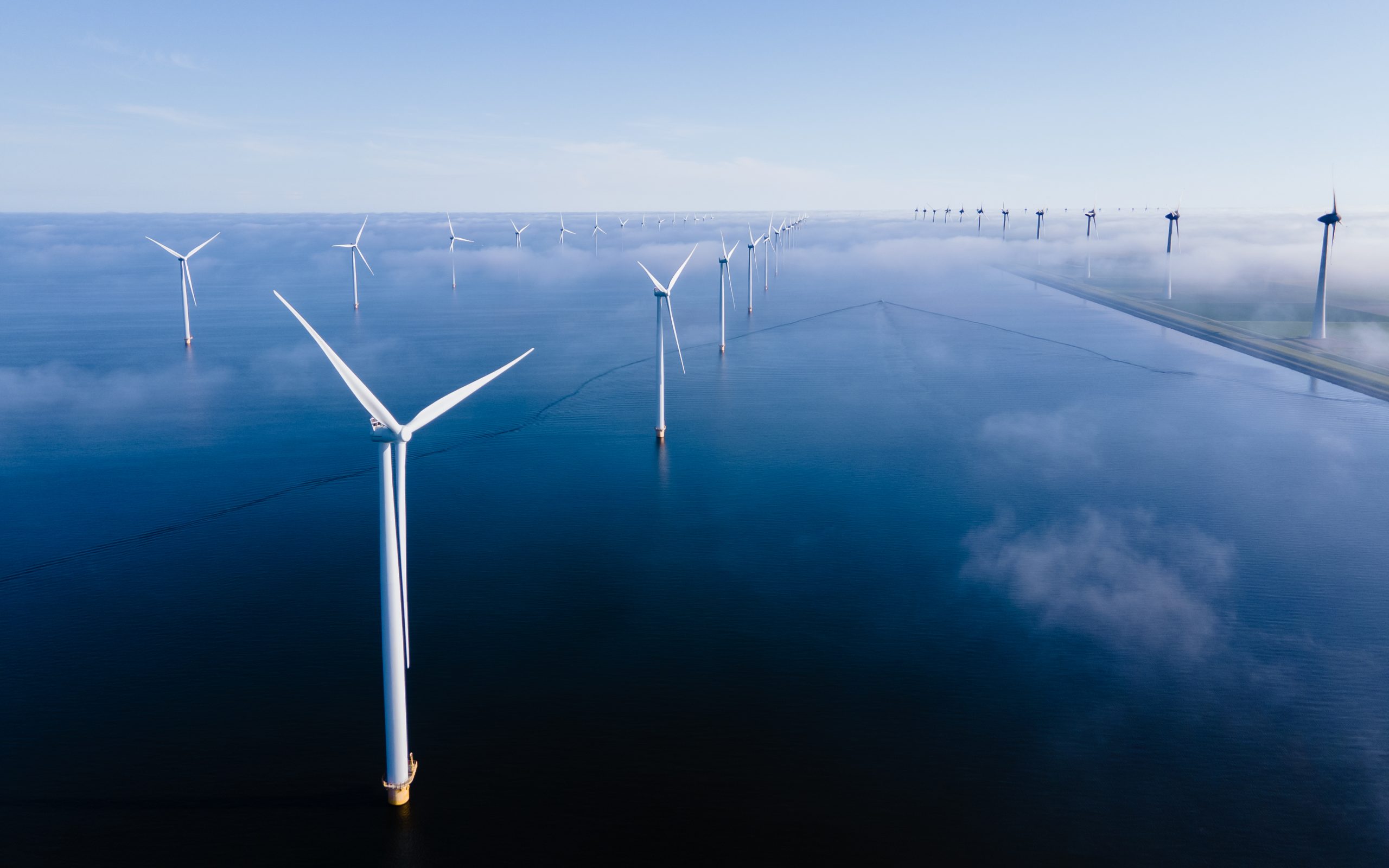
Meteodyn delivers high-resolution wind data online with the launch of its Wind Data Portal
PRESS RELEASE, DECEMBER 2025 Meteodyn delivers high-resolution wind data online with the launch of its Wind Data Portal Featuring Virtual and Satellite Onshore and Offshore Met Mast data with the...

METEODYN will hold a conference at Windenergietage
METEODYN will attend the Windenergietage 2025 in Potsdam, one of Germany’s key wind energy events.METEODYN will showcase several projects illustrating our software solutions and services covering...