Wind modeling
Our cutting-edge technologies, such as Computational Fluid Dynamics (CFD) and meso-micro-scale coupling, provide a sophisticated numerical approach to simulating wind behavior at multiple scales, enabling detailed analysis of complex airflows.
Accurate computation of wind characteristics
Our numerical approach allows us to model the complex behavior of the wind in detail, enabling us to accurately compute its characteristics. The local topography, with its elevations and contours, has a significant influence on air flows. Our numerical models fully incorporate this data and also account for the presence of obstacles such as vegetation, buildings, or complex structures.

Onshore and Offshore Wind Atlases
Identify the best onshore and offshore wind resources with our regional or national wind atlases.
Whether you are a wind farm developer or a local authority, creating a wind atlas provides accurate mapping of wind characteristics such as average wind speed (m/s).
The Wind Atlas is an essential decision support tool to effectively identify wind resources in a region, determine the optimal siting of wind farms, calculate their energy density (W/m²), and convince communities of the choices made.

Onshore and Offshore Wind Energy Potential Analysis
We accurately compute the wind resource at your wind farm site, whether it's onshore, offshore or in an urban environment. We perform a comprehensive assessment of the wind characteristics at the site using advanced technologies such as CFD modeling and meso-micro-scale coupling.
Our ability to model wind extends to all terrain types, even the most complex, including forested areas or mountainous landscapes. By integrating these advanced technologies, we are able to provide an accurate assessment of the Annual Energy Production (AEP) in accordance with IEC 61400 standards.

Comfortable cities and buildings
It is essential to consider the climatic dimension for comfortable indoor and outdoor spaces for users.
Outdoors, the wind can create uncomfortable windy corridors for pedestrians. Indoors, wind serves bioclimatic designs through natural ventilation, reducing energy consumption of habitats and improving their comfort.
Accurate wind modeling allows to identify sources of discomfort, address them, and optimize spaces and constructions.
News

Natural Ventilation: How to assess and optimize it in buildings using numerical tools?
How to assess the natural ventilation of buildings in urban areas and to optimize it using numerical tools like CFD software? From assessing natural ventilation and air exchange rate potential to optimizing the placement of openings, this webinar covers all aspects of...
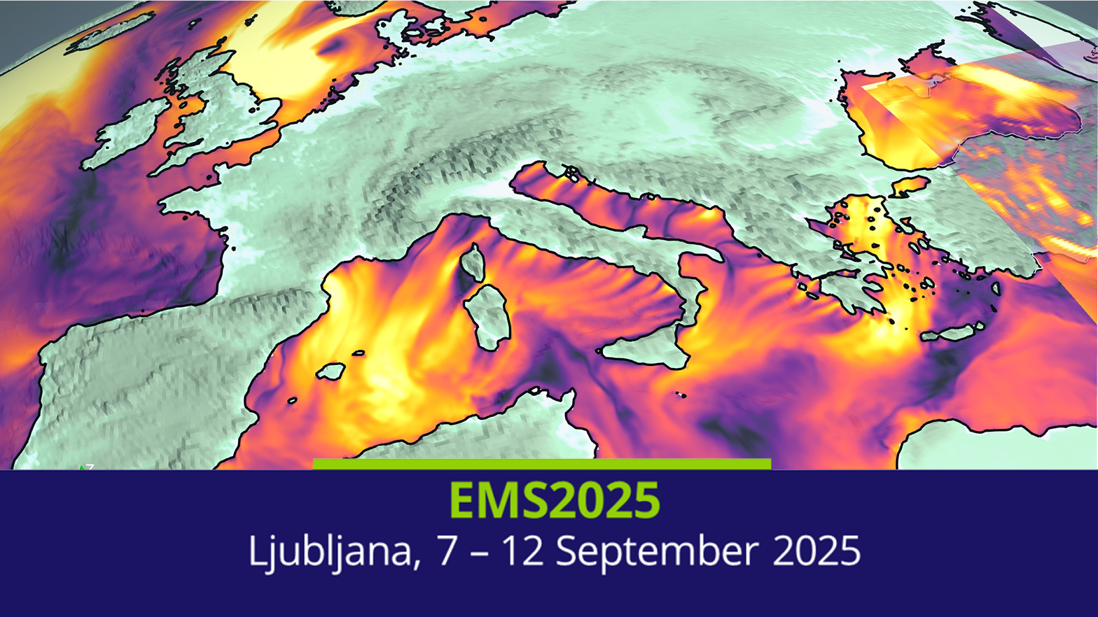
EMS Meeting 2025: METEODYN presents an online talk
Don’t miss out on our participation in the European Meteorological Society Meeting From 7 to 12 September, Ljubljana, the Slovenian capital, will host the annual meeting of the European Meteorological Society. An event dedicated to the exchange of knowledge and ideas...
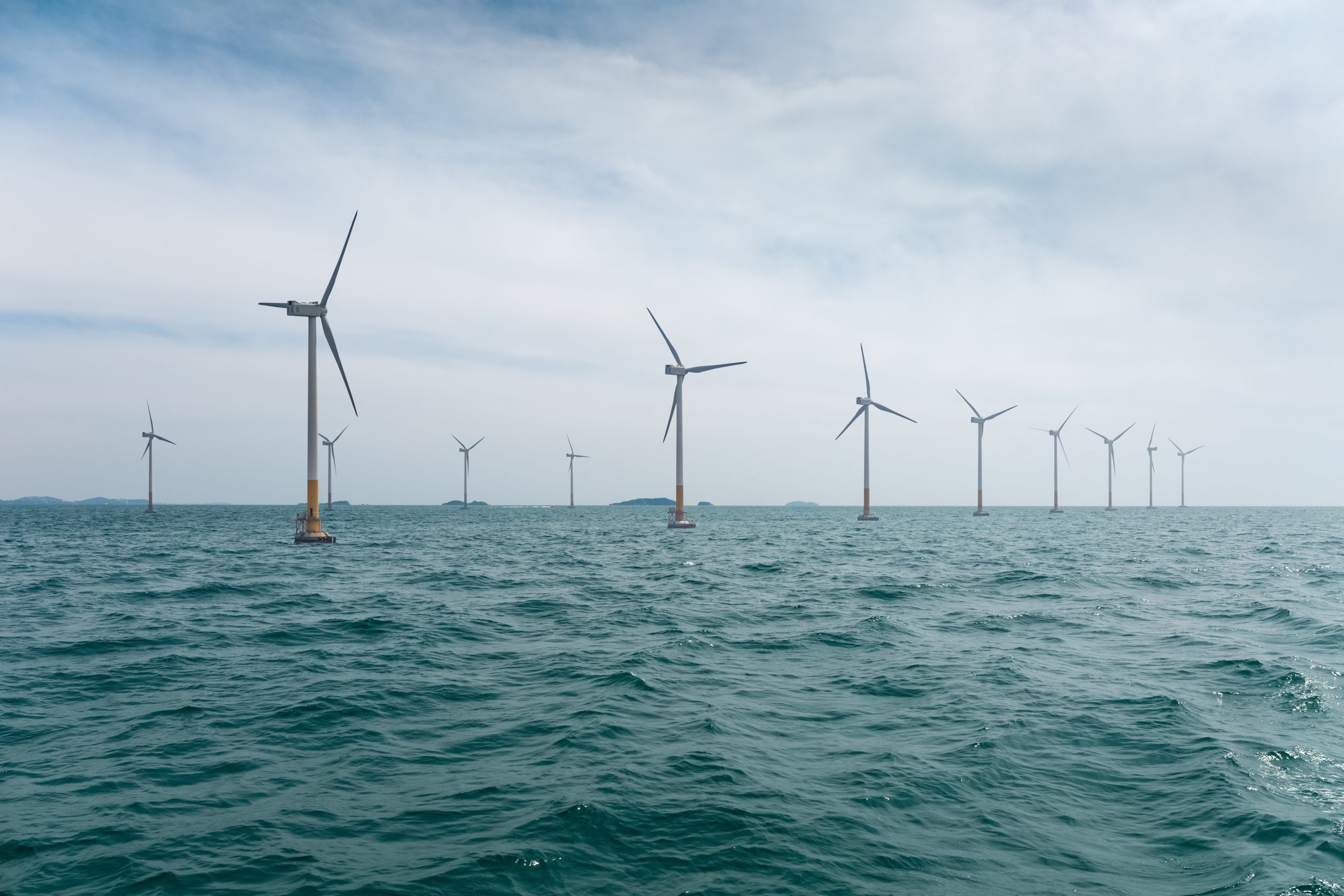
Webinar: New technologies for offshore wind power
As offshore wind energy grows, so does the need for accurate and reliable wind data. To help offshore project developers and decision-makers, Meteodyn has developed a comprehensive new offering combining scientific excellence and operational value. Watch our webinar...